Stewardship hypothesis
Growing pilot
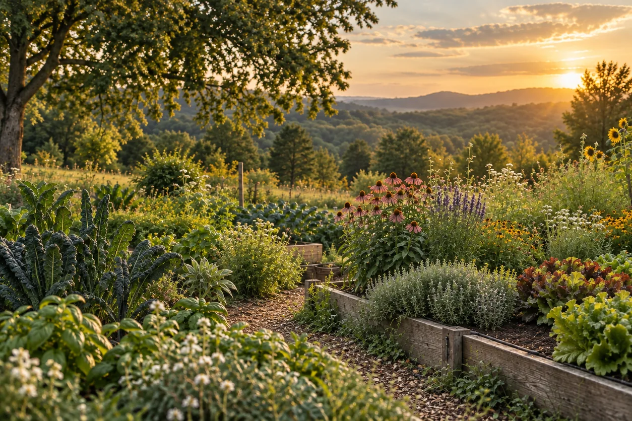
One initial greenhouse and modest cultivation are planned as a teaching and stewardship hypothesis.
The first village is imagined around a maintained Southern landscape: shade, modest cultivation, sensory pathways and opportunities to reconnect with place. Property geometry, site systems and permits are not established by the imagery.
Rather than a dense thicket or hotel-resort landscape, the visual direction favors a restrained maintained setting, warm vernacular buildings, accessible circulation intent and shade where appropriate. The appearance is illustrative, not a claim about the existing property.
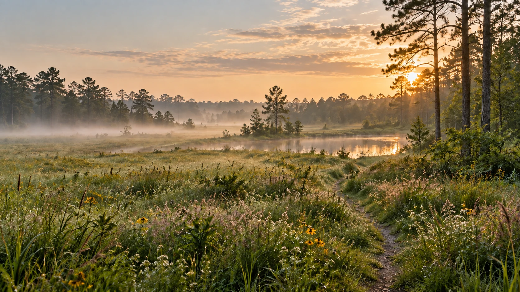
One initial greenhouse and modest cultivation are planned as a teaching and stewardship hypothesis.
Shade, rest points, sensory plantings and a place for ancestral reflection are design intentions subject to site truth.
Solar-ready strategy, lawful non-potable rainwater uses, backup power and service infrastructure require separate engineering and legal review.
A historical plat is used only to understand qualitative tract relationships. Current deeds, title, survey, easement rights, permits and infrastructure feasibility must be established independently.
Earlier tract and easement imagery can help identify documents to obtain or reconcile. It cannot establish exact acreage allocation, boundaries, accessible access, buildable area or a septic reserve.
The progress page separates work completed from current unknowns, holds and owner approval gates.